File:Map of Seligon.jpg
Jump to navigation
Jump to search
Size of this preview: 600 × 600 pixels. Other resolutions: 240 × 240 pixels | 480 × 480 pixels | 768 × 768 pixels | 1,024 × 1,024 pixels | 2,048 × 2,048 pixels | 3,937 × 3,937 pixels.
Original file (3,937 × 3,937 pixels, file size: 5.89 MB, MIME type: image/jpeg)
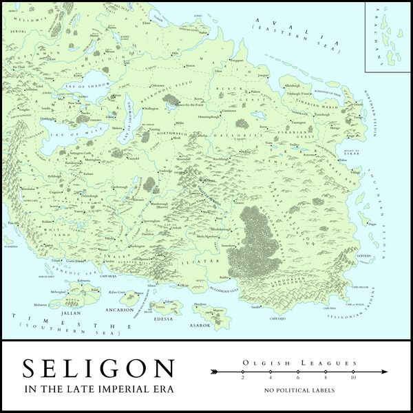
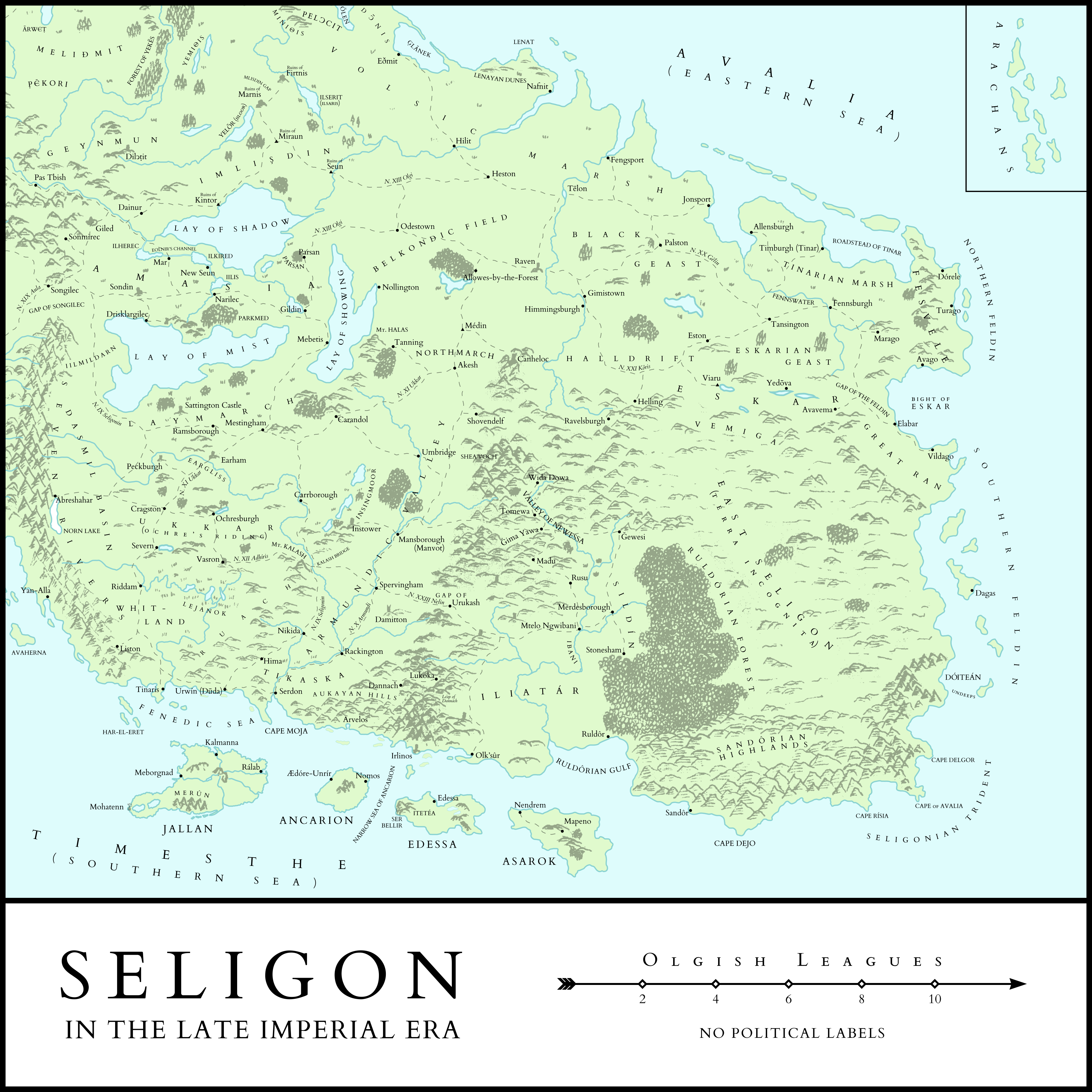
Map of Seligon in the Late Imperial Era. No political labels
File history
Click on a date/time to view the file as it appeared at that time.
| Date/Time | Thumbnail | Dimensions | User | Comment | |
|---|---|---|---|---|---|
| current | 18:33, 17 April 2023 | | 3,937 × 3,937 (5.89 MB) | Michaelmgoessler (talk | contribs) |
You cannot overwrite this file.
File usage
The following page uses this file: